A new look at your world

For a weather-independent data source, high-frequency revisits, very-high-resolution imagery or even all of the above in a single system – we can provide the right Earth observation satellite for every customer.

Our innovative off-the-shelf solutions and highly efficient production processes enable a record-time delivery of highly sophisticated and flight-proven satellites. What’s more – we also have a substantial expertise in ground segment infrastructure, technology and operations as well as data management and imagery exploitation. We are also leading the way in High-Altitude Platform Station, or HAPS, with our Zephyr platform.

No. 1 supplier

to European institutions

almost 40 years

of in-orbit time since 1986

Prime contractor

for close to 100 EO satellites

More than thirty years of successful Earth observation

Since the launch of its first Earth observation satellite in 1986, Airbus Defence and Space has successfully built and delivered 70+ Earth observation satellite systems, accumulating close to 600 years of in-orbit experience.

Today, many of our satellites are in operation well beyond their originally scheduled lifetime.

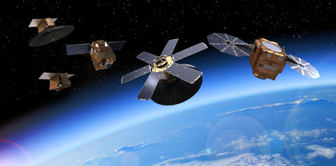
At the same time, around 30 new satellites as well as numerous payloads for customers around the globe are currently in development in our facilities.

Airbus Defence and Space is prime contractor for the Metop (Meteorological Operational Polar) series of metrological satellites and also built the SEVIRI instrument flying on Meteosat Second Generation as well as Aeolus, the first spacecraft capable of performing global wind-component profile observations, daily and close to real time.
 
The first low-earth orbiting meteorology satellite for EUMETSAT, Metop-A carried 12 scientific instruments; two of them, the Microwave Humidity Sounder (MHS) and the Advanced Scatterometer (ASCAT), were built by Airbus. Launched in 2006 as Europe’s first polar orbiting weather satellite, Metop-A provided high precision weather data that helped businesses, farmers and security organisations. As its orbit was significantly closer to Earth than those of the geostationary satellites, the observation data provided by Metop-A and its successors was much more detailed in comparison. Having exceeded its original five-year design lifespan, Metop-A was deorbited at the end of 2021.

                                                            Our global expertise

web.space.climatemonitoring.EO

Climate missions

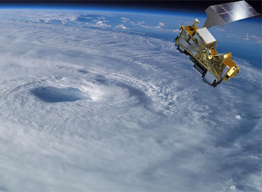
From short-term weather predictions to long-term global climate monitoring, today, Earth observation satellites are at the forefront of monitoring the planet. At Airbus, we not only build many of these satellites but transform geospatial data into actionable insight to help fight climate change.

space-generic-3

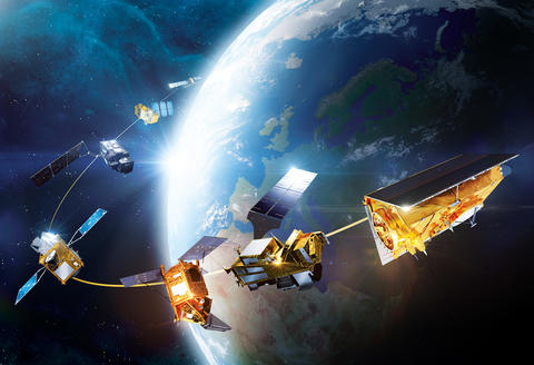
Earth observation satellites portfolio

Deliverable in absolute record time, our leading-edge systems are designed as off-the-shelf products that can be individually customised to comply with specific customer requirements.

web.space.eo3

Satellite imagery

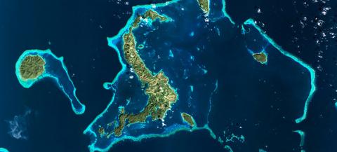
With exclusive access to a unique constellation of radar and optical satellites, Airbus Defence and Space supplies a comprehensive portfolio of data and related services.

                                                                    See also

web.space.eo.perusat.2

PerúSAT-1

A very-high-resolution Earth observation system built for the government and Space Agency of Peru, PerúSAT-1 is the first of its kind operated by the country. The satellite programme provides imagery for both civil and military applications.

web.space.ssot-fasat-charlie.eo.1

SSOT - FASAT CHARLIE

Airbus Defence and Space developed the SSOT Earth observation satellite for the Chilean Air Force (FACh), in order to access high-quality satellite imagery. In Chile, the spacecraft is commonly known as "FASat-Charlie." It was launched on 16 December 2011

web.space.vnredsat.1

VNREDSAT-1

VNREDSat-1 is Vietnam’s first remote sensing satellite providing high-resolution imagery to serve social and economic development purposes, as well as environmental protection and natural disaster monitoring.

_________________________________________________________________________________________________________________________________________________________________________